Watershed Protection
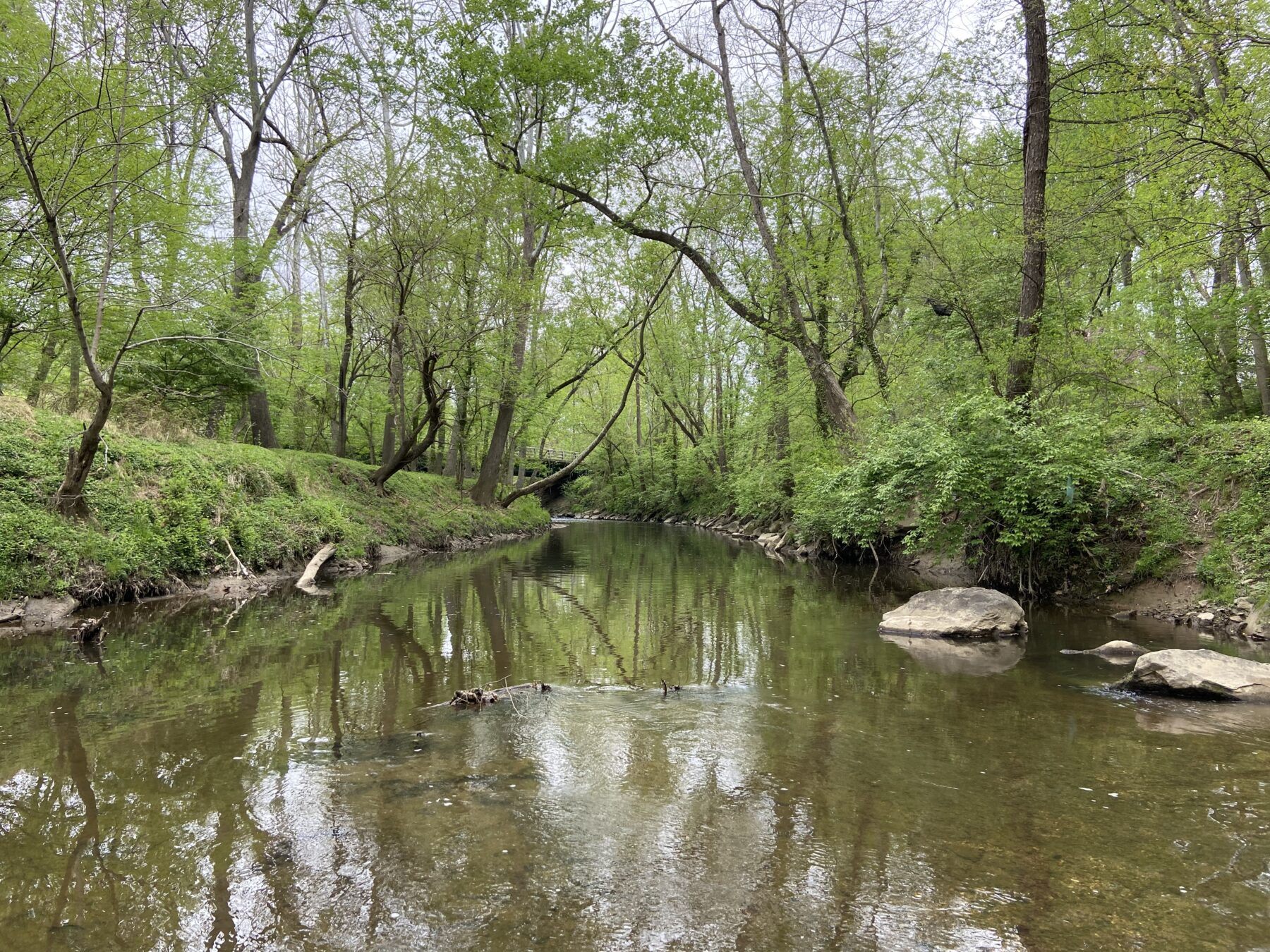
When water hits the ground during a rain or snow event, it begins an incredible journey through the watershed in which it falls. A watershed is an area of land that drains the water, and anything carried by that water, to a common location (e.g. the Chesapeake Bay). The Chesapeake Bay Watershed encompasses over 64,000 sq. miles and drains portions of 6 states: Delaware, Maryland, New York, Pennsylvania, Virginia, and West Virginia. Every stream in Montgomery County eventually flows into larger rivers, all of which ultimately flow into the Chesapeake Bay.

During storm events, larger than natural volumes of stormwater will rush into local streams in areas with a lot of impervious surfaces (roadways, parking lots, buildings). This can cause significant damage to habitat and other features within a stream. Stormwater management uses techniques and practices to slow, soak in, or store stormwater and help reduce the amount of pollution entering our waterways. Stormwater management facilities reduce the volume and intensity of water that rushes into streams by providing an area for short-term storage of stormwater. The stormwater will slowly soak into the ground, mirroring a more natural environmental system.
Montgomery Parks is regulated by a National Pollutant Discharge Elimination System (NPDES) Permit Program. This permit serves to regulate sources of stormwater pollution on parkland. Parks has a strong commitment to environmental protection and the stewardship of natural resources, and even prior to receiving an NPDES permit, Parks staff took steps to protect water resources and prevent pollution.
Under this permit, Parks staff are required to eliminate sources of pollution in local waters. This is accomplished through the implementation of best management practices (BMPs), which are everyday practices that will help prevent the pollution of our waters. To learn more about Parks’ NPDES Permit and the different BMPs implemented to accomplish the Permit goals and requirements, check out Montgomery Parks’ NPDES Program page.
Please see Montgomery Parks’ most recent NPDES Annual Report at the right for more information. To request previous year’s Annual Report, please contact Kyndal Gehlbach.
Stream Restoration

Montgomery Parks manages approximately 490 miles of streams that provide valuable wildlife habitat and recreational opportunities. As stewards of these aquatic resources, specialized staff apply and implement a wide variety of stream restoration practices that maximize ecological competency in Montgomery County’s most urbanized watersheds.
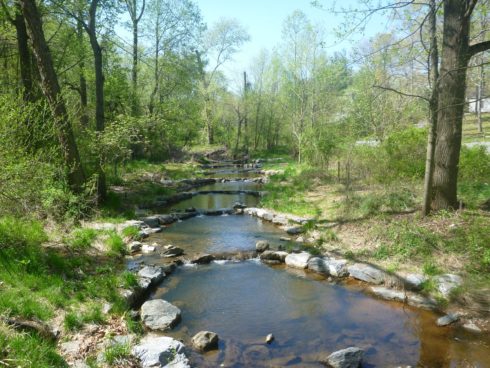
As stormwater leaves roadways, parking lots, rooftops, etc. via pipes and then enters culverts and eventually streams, concentrated water erodes the areas beneath culverts and stream banks, compromising water quality. Stream restoration practices utilize natural materials such as rock, logs, and native plants to help slow down the stormwater flow, promote infiltration, improve floodplain connectivity, and restore the bends, pools, and rocky areas found in stable streams. Specialized equipment is used to establish the shape of the stream and to bring in needed materials. Restoring streams also help protect adjacent properties and public infrastructure by reducing stream bank erosion and restoring aquatic ecosystems.
In addition to Parks, several entities regularly perform stream restoration projects on Parkland. They include the Montgomery County Department of Environmental Protection (DEP) and the Department of Transportation (DOT), Washington Suburban Sanitary Commission (WSSC), Maryland State Highway Administration (SHA), and others. Parks staff work closely with these agencies to minimize the impact stream restoration has on parkland.
A list of projects in the area can be found under the Stream Restoration Program webpage, the Environmental Restoration and Stormwater Outfall Infrastructure Rehabilitation Program webpage, or under the Parks Projects Directory.