Want to know more about the nature center, what you might find as you hike a trail, or how to browse our video content? It’s all here. Below you will find short summaries of the historical features located on the property, videos, and social media.
History of Meadowside Nature Center
Meadowside Nature Center, located in 1800-acre Rock Creek Regional Park, opened February 19, 1972 as the second nature center operated by the Maryland-National Capital Park and Planning Commission, Montgomery County Department of Parks. The nature center is dedicated to Col. Lathrop E. Smith, a local conservationist who promoted the preservation of Rock Creek.
The property that the nature center now sits on was previously used as farmland. It was purchased in 1963 from the Gorin and Gildar families.
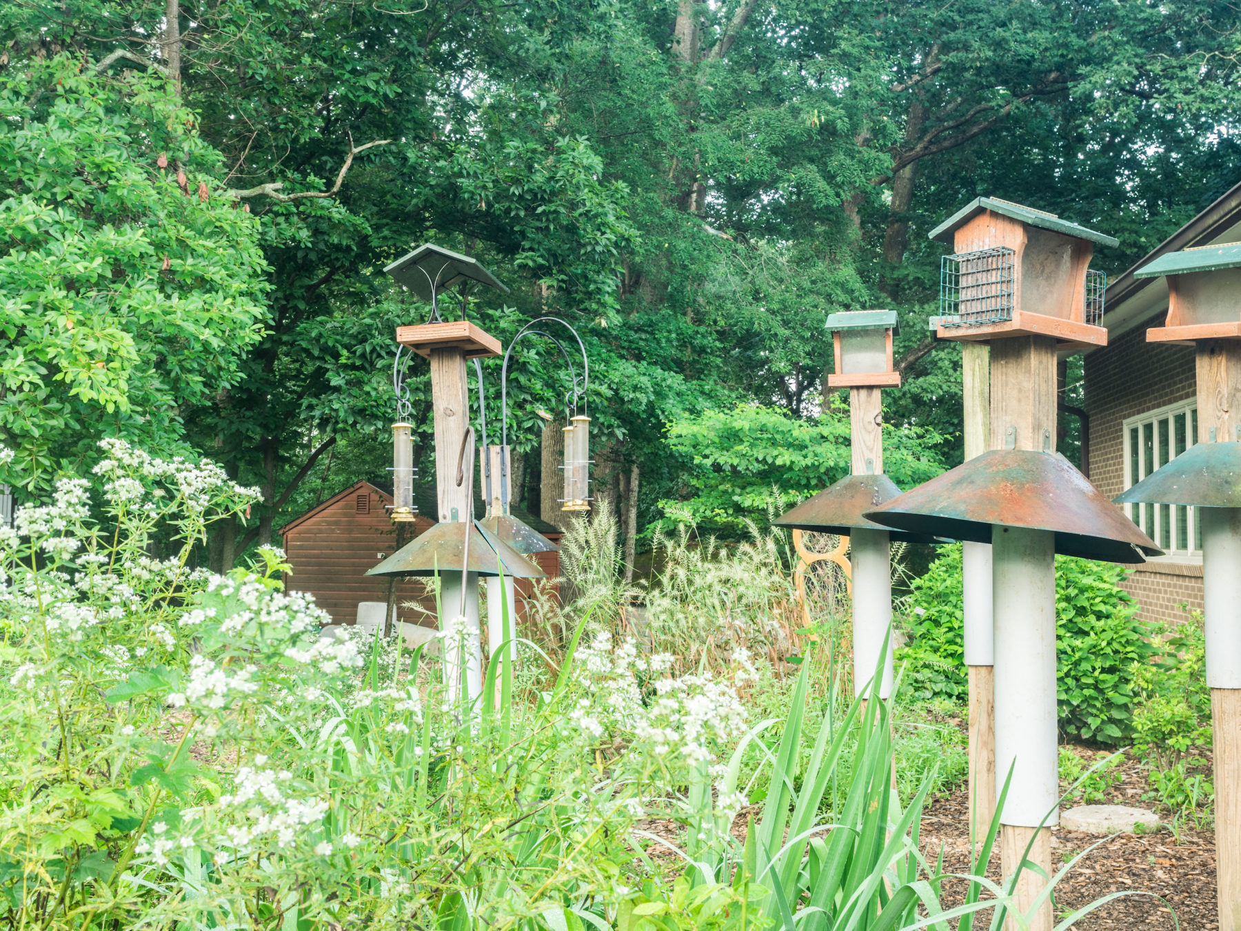
Meadowside Nature Center serves as a learning hub helping to forge a connection between people and nature through interpretive programs and exhibits and is staffed by career and seasonal naturalists. The nature center is surrounded by 350 acres of rolling hills, springs, streams, woods, and meadows which provide the outdoor classroom for the tens of thousands of school children, families, and community residents who visit each year. The nature center was designed to reflect the architecture of Muncaster Mill, whose ruins are located about half a mile upstream from the center.
In 1972, the Montgomery County Public Schools in partnership with Montgomery Parks, opened the L.E. Smith Environmental Education Center on 10 acres near the nature center as a residential and day-use school for county students.
In the 1980s, Meadowside Nature Center became home to a variety of education birds. Eventually the focus of our bird programs became exclusively birds of prey. These “education ambassadors” are permanently injured and non-releasable. Many of the nature center’s programs focus on presenting their stories to visitors. You can learn more about the birds here
Lake Frank
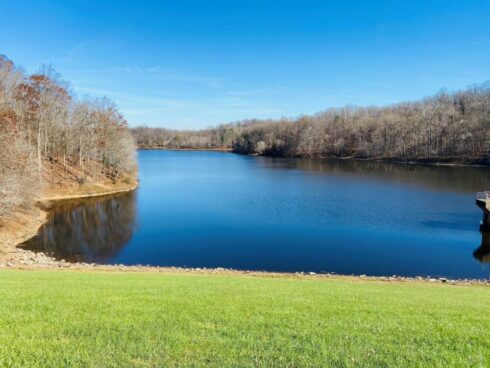
One of the prominent features of the park is Lake Frank, a man-made 54-acre water impoundment with an earthen dam. The lake serves multiple purposes—watershed protection, floodwater retention, sediment control, and recreation. Initiated in response to past experience with damaging floods, the dam, designed by the Soil Conservation Service and authorized under Public Law 566, took two years to construct. The lake, fed by the North Branch of Rock Creek, filled to its normal pool level in 1966. Originally named Lake Norbeck, the lake was later renamed to honor Bernard Frank, a local conservationist and forester who helped spearhead the its creation. Closed to vehicular traffic, Lake Frank is primarily used for hiking, shoreline fishing, nature study, birding, and photography. The closest parking lot is located off of Avery Road.

Muncaster Mill
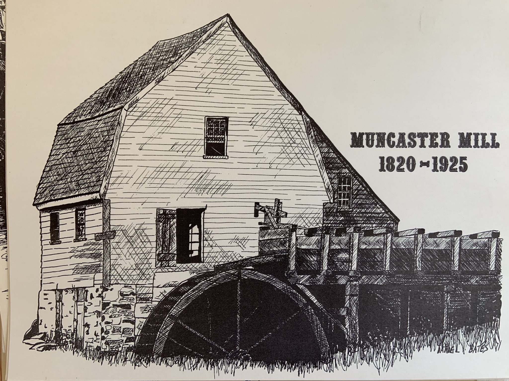
The unusually picturesque frame grist mill (where grains like wheat and corn were ground into flour) with a steep gambrel roof and stone piers, was part of the adjacent “Milton” farm, home of the Robertson and Muncaster families. Muncaster Mill was built in the early 1800s and closed in 1925 due to competition from modern milling practices. It was burned to its foundation in 1935. There was a large dam about a half mile upstream marking the start of the headrace. Traces may be visible upstream from Kengla House.
Joseph Elgar built the original mill, which was later sold to E. Muncaster, who operated it until 1878. George E. White leased it from Muncaster and operated it until 1920, when William Dove took it over. The design of Muncaster Mill, recorded before it burned, was used to restore Pierce Mill, the only remaining mill on Rock Creek (in Washington).
At one time, as many as 12 other mills operated along Rock Creek but most disappeared before the Civil War. Muncaster Mill was the last mill to operate in what is now Rock Creek Park. During its lifetime, the mill served 30–50 farmers in the area. There were three millstones, each designed for a specific grinding job. One ground unshelled corn for animal feed; one coarsely ground wheat, barley, and oats; and one ground fine flour.
For many years, there was also a sawmill, operated by a water turbine. The sawmill foundation was about 75 feet west of the grist mill site. The old miller’s house stood on Emory Lane near Muncaster Mill Road.

Prather Graveyard
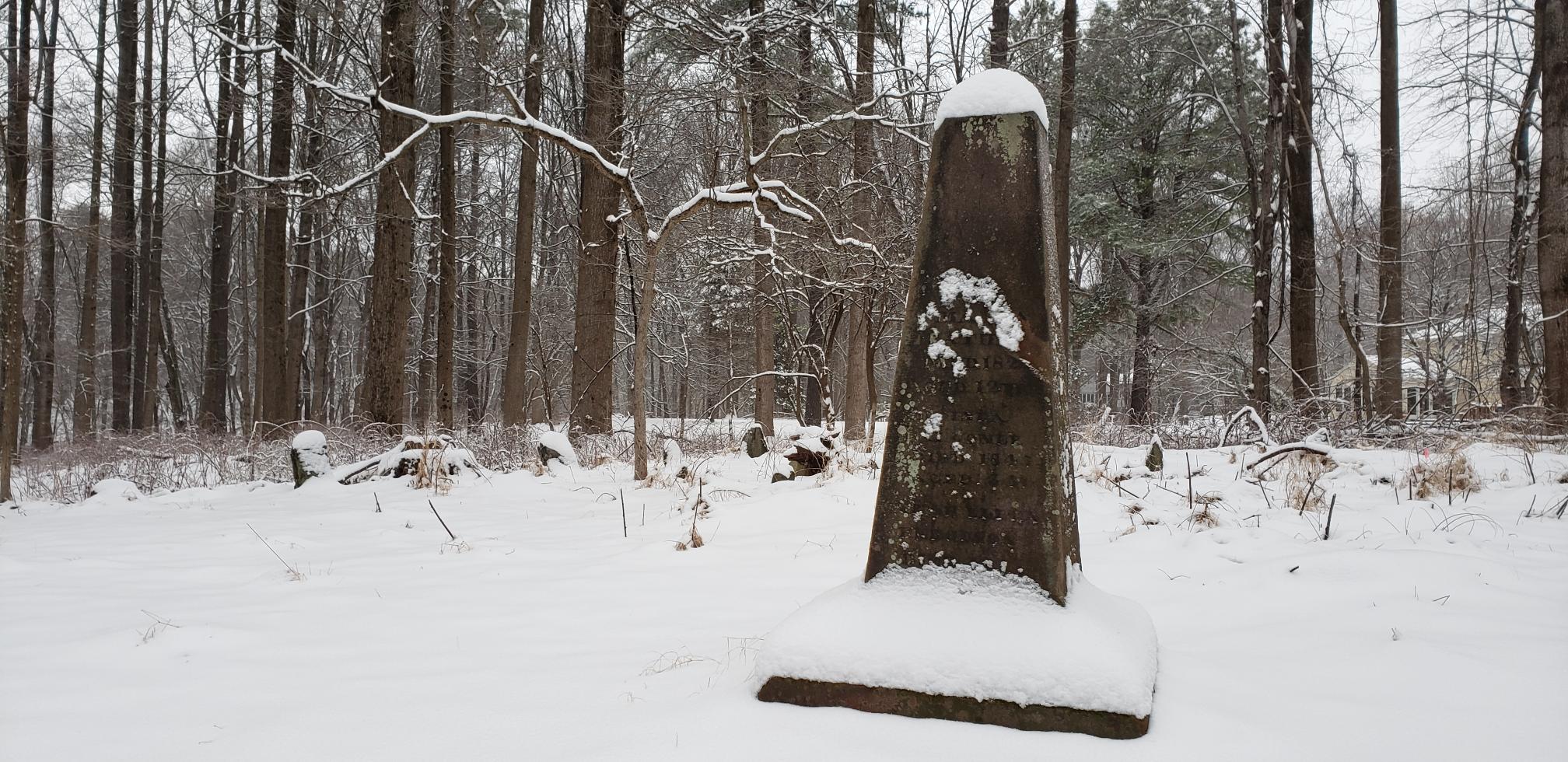
A graveyard located less than a mile from the nature center is known as the Prather Graveyard. The Prather family came from England and farmed a large tract of land, called Plain Dealing, which included the current site of the graveyard. Because the plantation was large, the Prathers probably owned many slaves. After the Civil War, many of the slaves took the Prather last name and settled in nearby Prathertown, located in Gaithersburg. The graveyard is untended and overgrown, and many stones are without inscriptions.

